

Day 2 – Point Eric to Louisa River


Point Eric to Louisa River Map (click to enlarge).
With substantially more distance to cover on the second day an early start is recommended to avoid sustained walking the afternoon heat.
Leaving Point Eric the track continues along the beach and skirts below Black Cliffs. After another short beach walk Buoy Creek and the adjacent campground are passed and the trail heads inland towards Red Point Hills. For the next 4km the trail crosses muddy button grass plains before eventually climbing and descending over Red Point Hills. In the distance the ever present form of the Ironbound Ranges is clearly visible. At the bottom of the hills the track crosses Faraway Creek and provides a suitable spot to replenish your water supply.
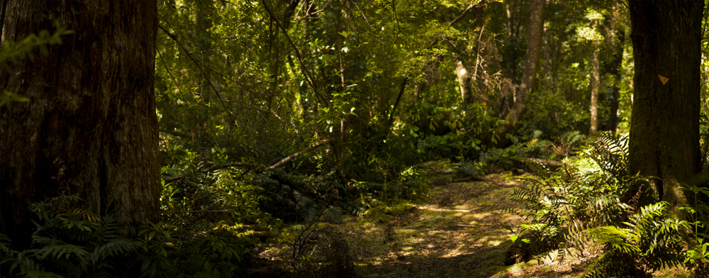
The track then continues below Spica Hills, crossing Louisa Plains via another muddy board walk section. The trail then enters lovely forest canopy surrounding Louisa Creek. A small campsite can be found here. After another kilometre Louisa River and the second nights camp nestled amongst the temperate rainforest canopy is reached. In good weather the river is easy to cross with the assistance of a guide rope.
Totaling 17km the second day is the longest of the track but is not the hardest. That comes tomorrow with crossing of the Ironbound Range.
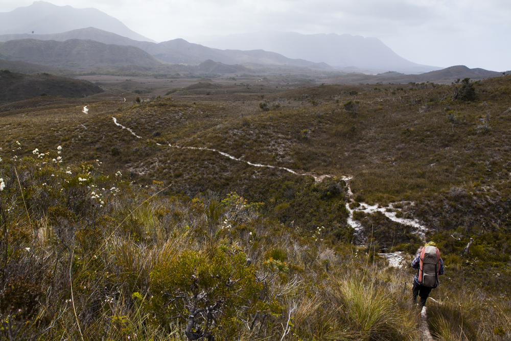
A long walk ahead across the Red Hills towards Lousia River
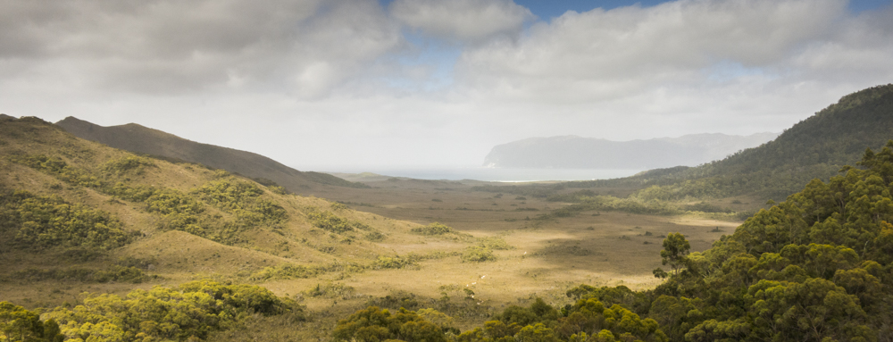
Heading inland towards Louisa River from Cox Bight
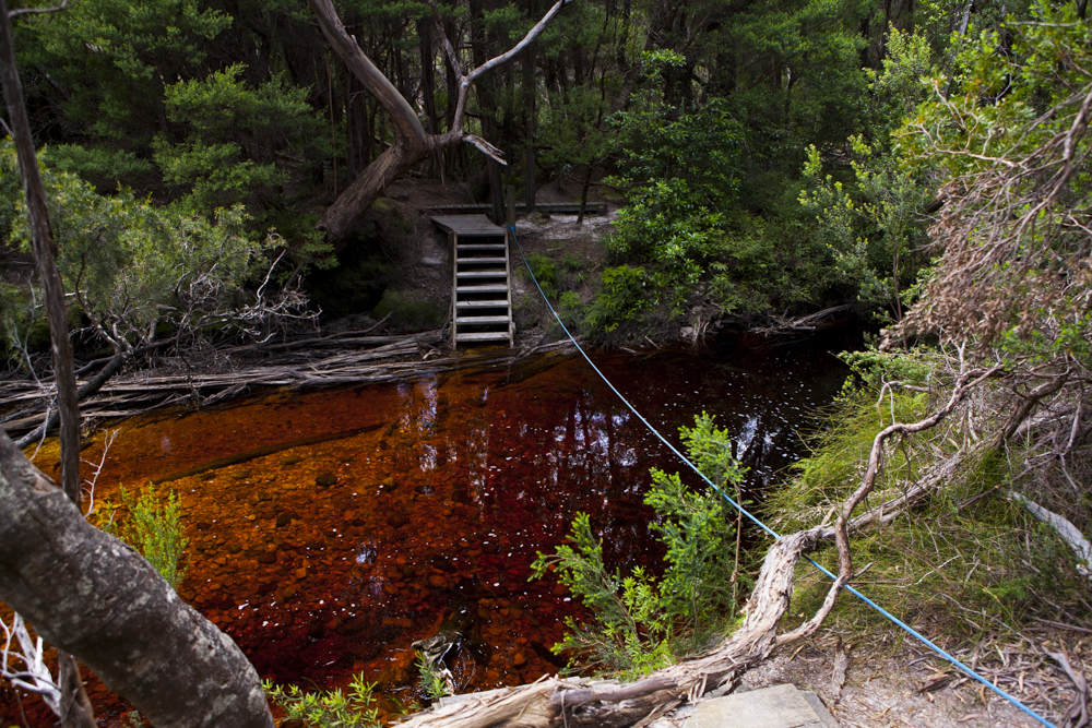
Louisa River crossing
Lousia River campsite. Nothing short of spectacular.