

Day 1 – Melaleuca to Point Eric


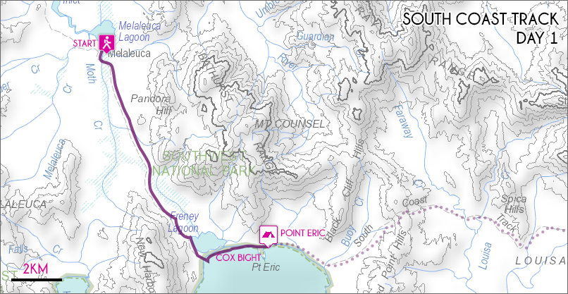
Melaleuca to Point Eric Map (click to enlarge).
The journey onto the South Coast Track begins with a stunning bird’s eye view of the rugged Southwest wilderness from the window of your 45 minute light plane trip to Meleleuca. From this initial introduction you quickly get a sense of the areas remote nature. Once down on the ground the first nights stop will be at Point Eric beyond Cox Bight, 13km away.
Trail conditions throughout the first day are the best of the entire track and walking is easy aside from a few wet patches. From Meleleuca the trail weaves across the undulating hills beside the New Harbour Range along duckboards and gravel tracks. As you approach Cox Bight the first sign of water comes from Freney Lagoon, a large lagoon set back behind the Cox Bight Beach.
Once on the coast at Cox Bight the trail continues for another 2km to the sheltered cove of Point Eric where the first camp can be made. After an easy day’s walking this is an idyllic spot set right on the edge of the pristine beach.
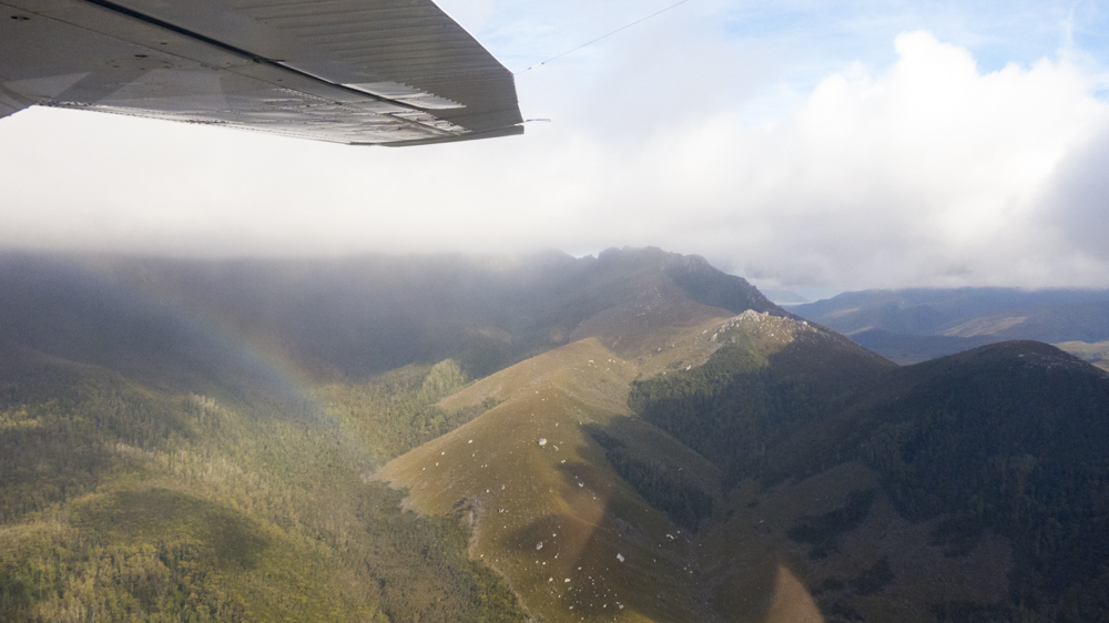
Flying in over Arthurs Range. Gives a daunting sense of scale.
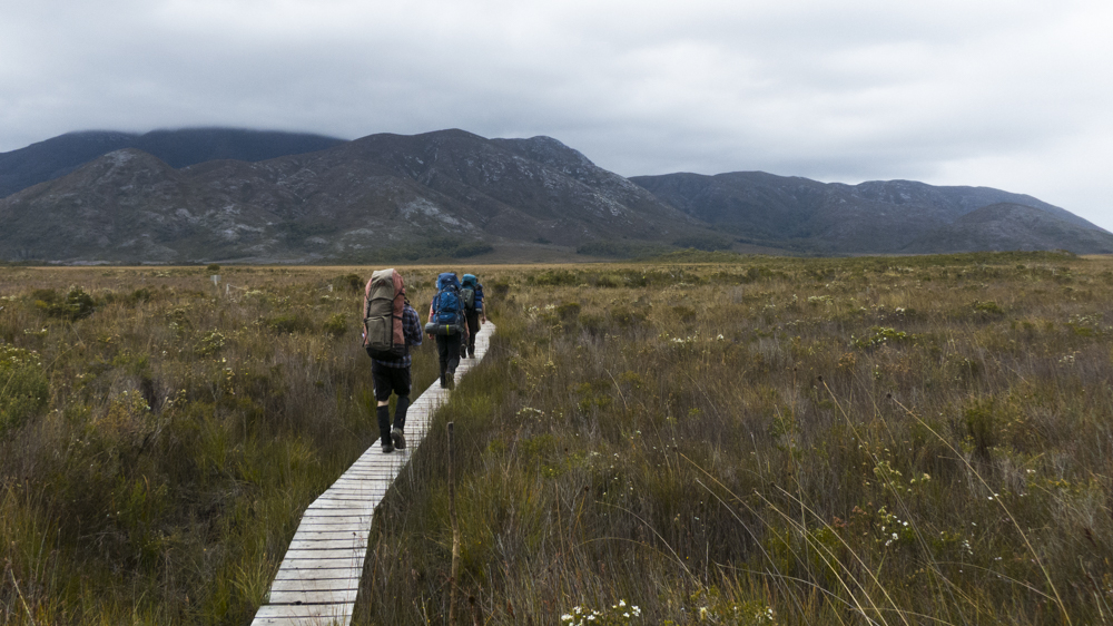
The long walk begins! Following the duckboards for the first 1km makes the whole thing seem a lot easier than it really is.
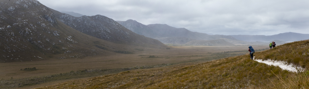
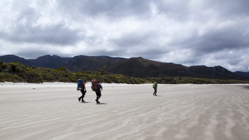
Walking along side Pandora Hill towards Cox Bight
After a short walk to Cox Bight its another 1km along the beach to the Point Eric campsite.